For the boating season 2020 we have again provided a large update for the NV Charts App.
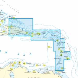
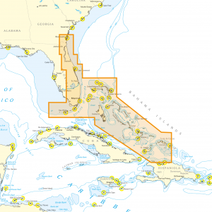
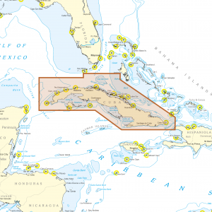
One way to have great nautical charts both on paper and or the gps navigation on our phone or tablet is to use our popular combination pack of paper and digital nautical charts, which includes both charts in clever atlas format and digital nautical marine boating charts/maps for use in the NV Charts App, including a update service for the edition purchased. This is of course the safer option for your navigation solution. However, you can also purchase digital boating charts as a subscription directly in the NV Charts App. The subscription duration is one year and is automatically extended (unless cancelled). The advantage: your boating charts are always up to date in the NV Charts marine GPS navigation app.
If it is not yet clear where the journey is going to take you, free online charts can be displayed for all NV Charts nautical chart areas in the app, or in your browser.
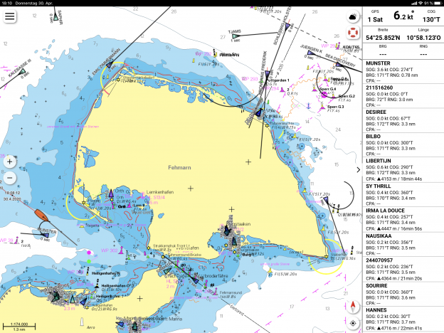
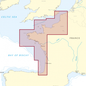
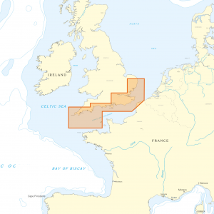
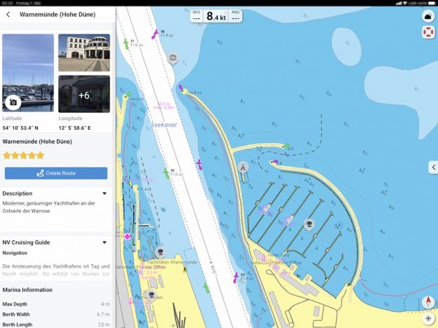
The offer of the new vector charts is an absolute highlight of the sea charts for the Baltic Sea and the presentation with a sophisticated symbol library of outstanding quality. Especially nice is, that here again a lot of attention is paid to the good presentation of the charts and that also the identifiers of buoys and lighthouses are shown without extra clicks. Highlighted lighthouse sectors are also a quality feature, which clearly helps to easily understand even complex fairway situations, even in the digital nautical chart.
The latest information is essential for safe navigation on the water. With the new version of the NV Charts App 2020 you have the possibility to become part of the chart community. You can now add marinas, anchorages and navigation warnings to the digital chart and also add and share interesting places beyond navigation, such as restaurants or points of interest with pictures. Others can respond directly with comments. The continuously edited content can be downloaded directly to be available offline. In order to make all information easily accessible, we have improved the search function: You can explore the surroundings and search directly for place names as well as anchorages, harbours, ramps, waypoints, cranes, petrol stations, or tide stations. In addition, an auto-routing function has been integrated, which allows you to navigate directly to your destination using the NV Charts App as a marine GPS Plotter.
Jeppe Scheidt, app developer and sailor says about the app:
„With the NV Charts app we all have the opportunity to share our experiences on the water and together make the sailing and water sports experience even more exciting“.
Together navigation on board is even more fun! You can now share your tracks with friends or use the data outside the app and export it as GPX file. You can share your favorite harbors and anchorages from the app simply by clicking on a link and coordinate your trip planning even better with everyone.
With the AIS function in the NV Charts App you can keep an eye on AIS signals in real-time. You can connect a Wlan AIS receiver to the NV Charts and the app display AIS Class A and B signals and navigation aids (ATON), as well as MOB AIS SART transponder distress transmitters, directly in the digital chart in real-time and the traffic situation can be assessed better. To activate the AIS function in the app, only the access data for the AIS router must be entered under Settings (IP and Port). The NV Charts App works with many AIS receivers and was tested with the following devices:
Tested AIS devices for NV Charts App:
Actisense’s W2K-1 https://www.actisense.com/product/w2k-1/
Weatherdock Wifi compatible devices https://www.easyais.com/en/products/ais-receivers/
Digital Yacht devices https://digitalyacht.net/2020/06/02/nv-charts-digital-yacht-ais/
But this is a standard format and really any AIS receiver sending NMEA 0183 over Wifi TCP-IP (which most do, and this can usually be easily configured) should be compatible.
### NEW HIGHLIGHTS ###
✔ Search function
✔ Autorouting
✔ Community Layer / Points of Interest(POI)
✔ Improved logbook and track recording
✔ Free online nautical charts in App preview for planning
✔ The updated charts for 2020 already show the planned new traffic separation areas in the Baltic Sea
✔ Online NV Charts Web App for trip planning with free sea charts and port information https://app.nvcharts.com
✔ Navigation warnings directly in the NV Charts App
### OTHER HIGHLIGHTS ###
✔ In App Purchases of digital sea charts
✔ Vector charts for the Baltic Sea
✔ Real-time currents in the North Sea and Baltic Sea
✔ Tide prediction and online weather
✔ Continuous updates
✔ NMEA wind and echo sounder support
✔ AIS connection incl. AIS SART MOB support
✔ Synchronization with other devices + file export
## System requirements of this version
## IOS Version 13
## Android version 7.0+
## Windows 10, 8
## Mac OSX 10.13 10.14 10.15 (current version)
(for all who have older devices the previous version is still available as NV Charts Classic)